Little Conemaugh Recreation
Though limited, recreation opportunities do exist within the Little Conemaugh Watershed. Boating can be done on Beaverdam Reservoir, Lake Rowena, and Wilmore Lake. Also, a rail trail is developing along the Little Conemaugh River following the trace of the Allegheny Portage Railroad, including the completed Staple Bend Tunnel section owned by the National Park Service and other portions of the "Path of the Flood" Trail, being developed by Cambria County Conservation and Recreation Authority.
Fishing:
Fishing, is limited on much of the Little Conemaugh, but many of its tributaries are stocked with trout by the Pennsylvania Fish and Boat Commission, including Noels Run, Bens Creek, the North Fork of Little Conemaugh, Howell’s Run, Lake Rowena, and Laurel Run. The Ebensburg Reservoirs, Beaverdam Run Reservoir and Wilmore Reservoir are open to fishing. Hinckston Run and Laurel Run (Tanneryville) are direct tributaries to the Conemaugh River and are also stocked trout streams. The Cambria County Conservation District is a sponsor for the Cambria Somerset Authority’s Hinckston Run and Wilmore Reservoirs in the CHIP Program. CHIP stands for Cooperative Habitat Improvement Program though the PA Fish & Boat Commission. Fish habitat projects started in 2008 with the addition of rock humps, porcupine cribs, short vertical structures and felled trees along the shoreline. Mapping of fish habitat improvement locations for these impoundments are available on the Commission’s web site.
Boating:
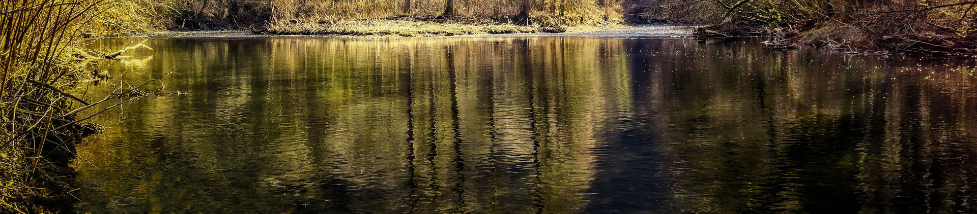
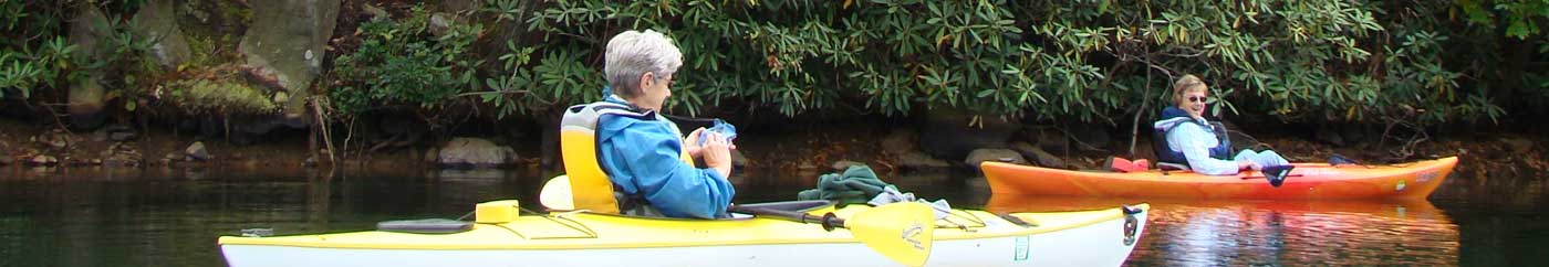
Boating is limited in the Little Conemaugh watershed. Boats are permitted on Beaverdam Run Reservoir, Lake Rowena and the Wilmore Reservoir, but the rugged nature of the river and its tributaries, along with the obviously polluted appearance of the river’s main stem, restricts boating. The exception is the Conemaugh River below Johnstown, where many canoeists and kayakers who begin a trip on the Stonycreek continue it through the Conemaugh Gap to Seward.
Hiking:
Hiking is also limited in the watershed, although some trails have been planned. The Lost Turkey Trail from Ogletown to the Blue Knob area of Bedford County passes through the South Fork’s headwaters area. The National Park Service’s Allegheny Portage Railroad at Cresson has some hiking trails. They also have the Staple Bend Tunnel rail trail in Mineral Point provides hiking and biking opportunities though the first railroad tunnel ever constructed. The Cambria County Conservation & Recreation Authority also recently opened a segment of the Path of the Flood Trail from Ehrenfeld to Mineral Point.
Hunting
Hunting is available throughout much of the watershed. Above Tanneryville, PA and on the west slope of Laurel Ridge, DCNR has recently acquired 4,000 acres that is now part of the Gallitzin State Forest. State Game Lands 198, located east of Lilly on the Cambria/ Blair County line adjoin Highland Sewer & Water Authority properties that are open to public hunting. State Game Land 26 assures public access in the headwaters of the South Fork, and areas surrounding the Beaverdam Run, Beaverdale, Wilmore and Saltlick reservoirs are open on a walk-in basis.
Water Improvement
Water Improvement is a challenge, but there are quite a few watershed associations besides SCRIP trying very hard to improve water quality in the watershed. They include the Greater Johnstown Watershed Association, Trout Run Watershed Association, Little Conemaugh Watershed Association, and the Beaverdam Conservation Group to name a few. The Mt. Laurel Chapter of Trout Unlimited is active too, along with several other local sportsmen’s clubs that own property and have cooperative trout nurseries in the watershed.