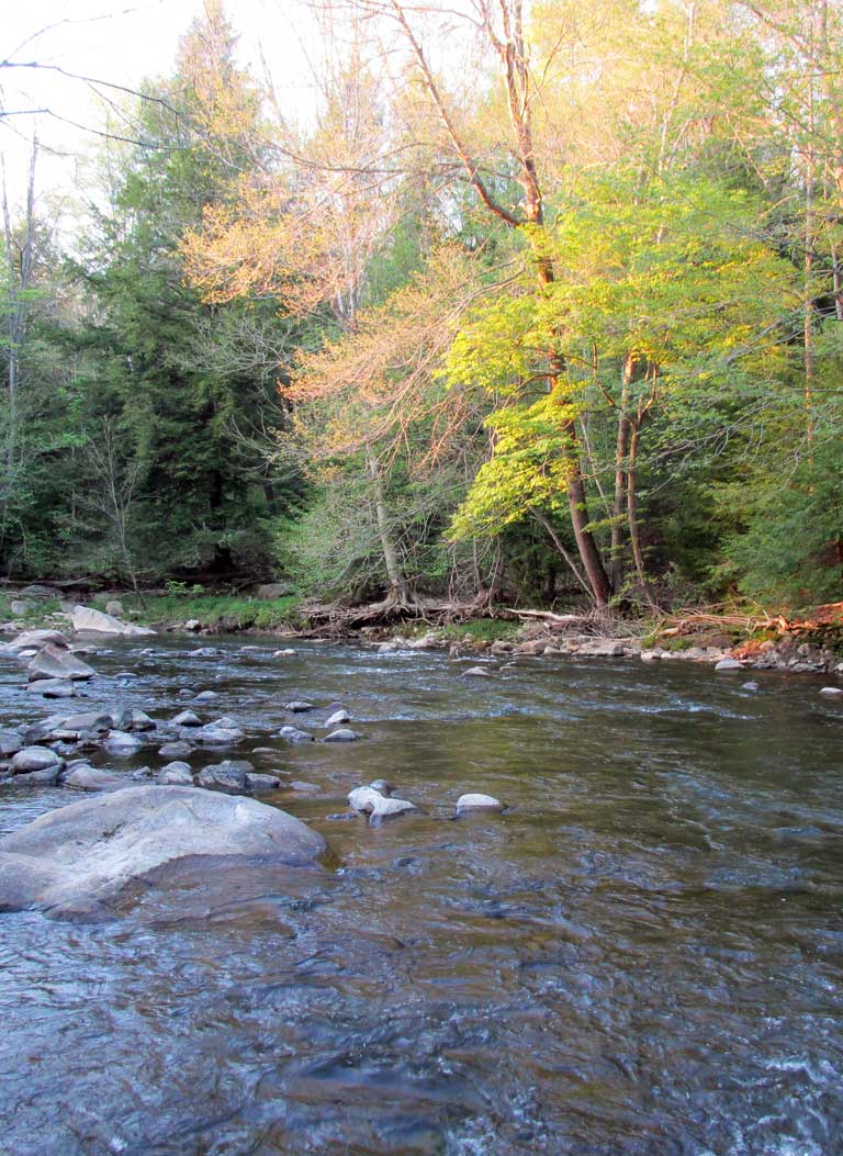
The Stonycreek

Stonycreek was named Pennsylvania’s River of the Year 2012!
The Stonycreek River flows 43 miles from a spring near Berlin to its confluence with the Little Conemaugh River in downtown Johnstown, draining a 466-square-mile watershed comprised of nearly all of Somerset County north of the Pennsylvania Turnpike, as well as the most heavily populated portion of Cambria County.
For its first nine miles, the Stonycreek winds its way across a pastured plateau. For another nine miles, it plunges 500 feet in elevation from Shanksville through the Upper Gorge to Kantner. This rugged area has won widespread recognition as a trout fishery.
The river levels somewhat for seven more miles, providing water to Hooversville and passing through Blough and Hollsopple before entering the Stonycreek Canyon from Foustwell to Krings, a section bordered by high, steep-sided mountains. The river drops less than 200 feet through the Canyon, yet maintains its reputation as a rough-and-tumble waterway with one of the most continuous pool-and-rapid stretches in the eastern United States. This has made it a favorite of whitewater enthusiasts.
The river is visible under the towering McNally Bridge, which carries Route 219 over the Canyon. Below the Canyon, the Stonycreek slows across flood plains occupied by Ferndale, then Johnstown, where concrete walls keep the river in its place during times of high water.
Shortly after passing the Cambria County War Memorial, Johnstown’s Incline Plane and Point Stadium, the Stonycreek and the Little Conemaugh join at The Point to form the historic Conemaugh River.
During its 20-year history of water quality work, SCRIP’s biggest success has been the Stonycreek. The river’s chemistry has improved from acidic to net alkaline during that time, and where it once held only remnant populations of pollution-tolerant species, it now supports recreational fishing through most of its length, attracts increasing numbers of whitewater enthusiasts and is bordered by two very popular walking trails.


